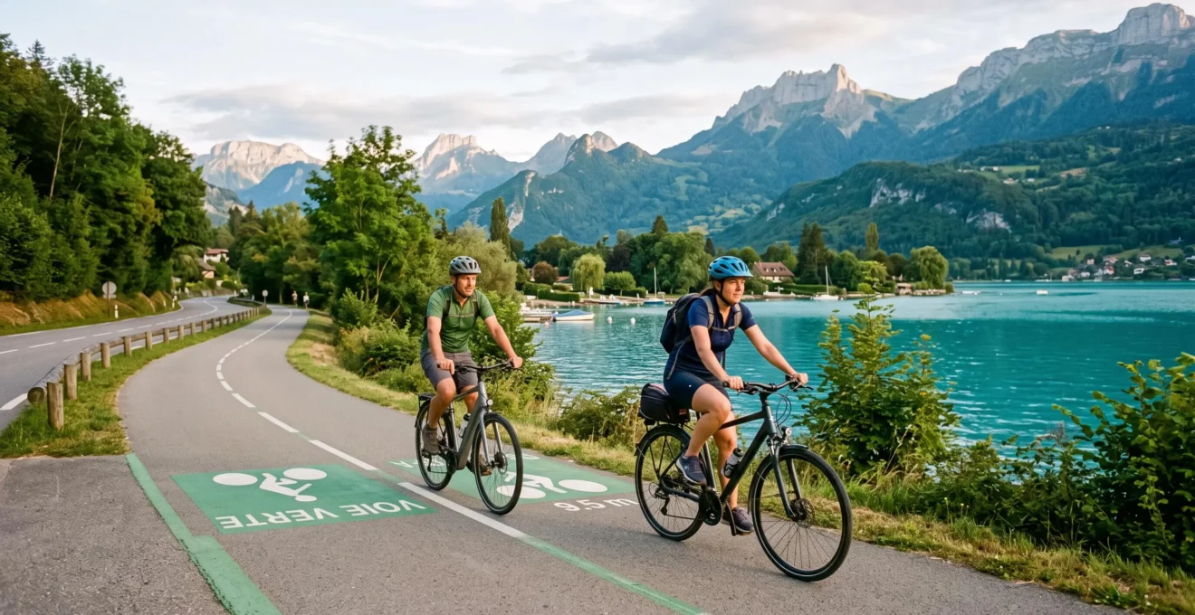
The 42-kilometre circuit around Lake Annecy holds a reputation as one of Europe’s most accessible Alpine cycling experiences. Yet contradictory online descriptions leave many would-be riders uncertain whether the famous route matches their group’s ability. The confusion centres on a widespread misconception: whilst the route is frequently described as a uniformly protected greenway, the infrastructure reality combines approximately 30 kilometres of dedicated separated paths with roughly 12 kilometres of shared low-traffic roads.
Understanding this hybrid infrastructure model enables confident planning rather than mid-ride surprises. The route genuinely delivers spectacular Alpine lake scenery accessible to intermediate recreational cyclists—provided riders calibrate their expectations to match the actual path characteristics, their fitness level, and tactical logistics from bike rental to crowd avoidance timing.
In this article
- What sets the Lake Annecy bike path apart from other European greenways?
- The 42km reality: distinguishing greenway from shared road
- Can you complete the loop? Difficulty assessment by rider type
- Bike rental in Annecy: equipment standards and local options
- High-value stops along the lake circuit
- Practical field intel for a seamless ride
What sets the Lake Annecy bike path apart from other European greenways?
Lake Annecy occupies a distinctive position amongst European cycling destinations: genuinely accessible infrastructure combined with premium Alpine scenery typically associated with more demanding mountain routes. The turquoise alpine lake, framed by mountain peaks rising directly from the shoreline, provides a visual backdrop absent from flatter routes such as the Loire à Vélo or coastal paths.
The Syndicat Mixte du Lac d’Annecy (SILA), which manages and maintains the greenway infrastructure, reports more than 1,500,000 passages annually on the most-used sections, with up to 10,000 daily crossings during peak periods. This volume demonstrates both the route’s proven appeal and the maturity of the supporting infrastructure developed over the past two decades.
The French voie verte standards, applied to significant portions of the circuit, ensure separated path infrastructure with defined width (3.5 metres on SILA-managed sections), smooth asphalt surfaces, protective barriers at road junctions, and in some locations, dedicated underpasses eliminating vehicle interaction entirely. This engineering distinguishes the Annecy route from informal lakeside paths or basic road-shoulder cycle lanes found in less-developed cycling regions.
The route frames itself as an accessible premium experience rather than an extreme athletic challenge. Intermediate recreational cyclists without extensive touring experience can realistically complete the circuit, whilst the mountain scenery delivers a visual payoff often requiring significantly more demanding riding elsewhere in the Alps. This combination explains the route’s sustained popularity with both local cyclists and international visitors planning limited Alpine itineraries.
The 42km reality: distinguishing greenway from shared road
The term “voie verte” appears frequently in Lake Annecy cycling descriptions, yet this designation does not extend to the entire 42-kilometre loop. The SILA directly manages and maintains approximately 30 kilometres of dedicated separated greenway between Sevrier (Beaurivage) and Val de Chaise, predominantly along the eastern and southern lakeshores. The remaining segments use shared low-traffic roads with marked cycle lanes or travel quiet village streets.
Infrastructure breakdown: Approximately 30km consists of protected voie verte with physical separation from vehicle traffic. The remaining 12km utilises shared roads, primarily low-traffic routes with cycle lane markings, plus short village sections. The distinction matters for safety assessment and expectation management, particularly for families cycling with children.
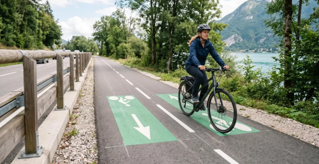
The official Savoie Mont Blanc tourism route documentation identifies a 3-kilometre section between Menthon-Saint-Bernard and Talloires as shared main road requiring extra vigilance, particularly on the steep descent into Talloires village. Traffic volumes on these shared segments remain relatively low compared to urban roads, yet the presence of vehicles demands rider attention absent from the fully separated voie verte portions.
Geographic distribution follows a logical pattern: the eastern lakeshore between Annecy and Talloires predominantly features protected voie verte infrastructure, whilst the western shore sections incorporate more shared road segments with marked cycle lanes. The northern tip around Annecy town utilises a mix of separated paths and quiet residential streets. This hybrid model reflects the practical constraints of developing cycling infrastructure around an established lake with centuries-old villages and limited road corridor space in certain locations.
French greenway infrastructure standards, where applied, mandate minimum path widths, surface quality thresholds, and junction safety measures. The SILA-managed sections meet these criteria with 3.5-metre-wide paved surfaces and protective barriers at road crossings. The shared road segments, whilst lacking full physical separation, generally provide painted cycle lanes and benefit from relatively light traffic volumes outside peak summer weekends.
Can you complete the loop? Difficulty assessment by rider type
The predominantly flat lakeside profile eliminates sustained climbing, yet completion times vary substantially based on rider fitness, pace expectations, and stop frequency. Field observations from local cycling guides and rental operators reveal consistent patterns across different rider archetypes.
| Rider archetype | Completion time | Characteristics |
|---|---|---|
| Family leisure pace | 4-5 hours | Includes swimming stops, photo breaks, village detours, relaxed riding with children |
| Recreational steady riders | 2.5-3 hours | Consistent touring pace, brief village stops, moderate photo breaks, no extensive training background |
| Fit cyclists | Under 2 hours | Treating route as training ride, minimal stops, athletic pace throughout |
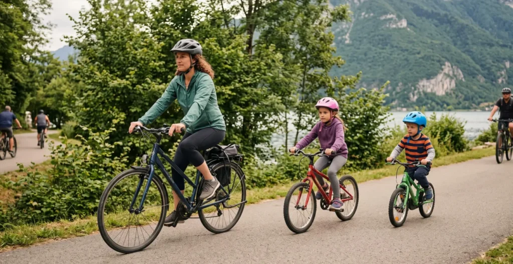
The terrain profile centres on a flat to gently rolling lakeside circuit. Cumulative elevation gain remains minimal compared to dedicated mountain routes, with no sustained climbs exceeding moderate gradients. The exception occurs if riders choose the optional Col de la Forclaz detour—a 2-kilometre climb offering panoramic lake photography but requiring additional climbing capability and time.
Surface quality on the protected voie verte sections maintains smooth asphalt suitable for standard hybrid or touring bikes. The shared road segments present similar pavement conditions. Basic city bikes or single-speed cruisers prove less comfortable over the 42-kilometre distance, whilst road bikes, hybrids, and touring bicycles handle the route efficiently.
Fitness level calibration matters more than cycling-specific training. An individual comfortable walking 8-10 kilometres at a brisk pace typically possesses sufficient cardiovascular fitness for the Annecy loop at leisure speed with breaks. Groups mixing abilities should plan for the slowest member’s pace, adding buffer time for photo stops and the experiential elements—swimming, village exploration, café breaks—that distinguish touring from athletic time trials.
Weather affects completion times substantially. Strong headwinds along open lakeshore sections slow progress, whilst summer heat encourages extended swimming breaks. Spring and autumn conditions typically support steadier riding than peak July-August temperatures.
Bike rental in Annecy: equipment standards and local options
Equipment quality directly affects the 42-kilometre experience, yet rental fleets vary substantially between basic city bike operations and touring-focused specialists. Appropriate equipment for the full circuit requires hybrid or comfort bicycles with multiple gears, comfortable saddles, and reliable braking systems—specifications exceeding basic single-speed city cruisers designed for short urban trips.
Quality indicators when assessing rental providers include fleet composition (hybrid/touring bikes versus basic cruisers), maintenance standards evident from brake function and gear shifting, and included equipment such as helmets, locks, repair kits, and route guidance. Providers serving predominantly tourist day-trippers may stock equipment optimised for short town circuits rather than 42-kilometre distances.
Central Annecy hosts multiple rental operations near the old town and lake access points. Bike rental in Annecy through specialists such as Mobilboard offers flexible hourly arrangements, centrally located pickup near route start points, and complimentary route guidance addressing navigation concerns—practical advantages for visitors with limited local knowledge and tight holiday schedules.
Pricing expectations for full-day rental of 42km-suitable hybrid or comfort bikes typically range from €20-35, with half-day and hourly options available from certain providers. Peak summer season (July-August) sees higher demand; advance reservation proves prudent during these months, whilst shoulder seasons (May-June, September) generally allow walk-in rental, particularly for weekday departures.
Rental location strategy affects logistics significantly. Providers based in central Annecy enable immediate route departure without preliminary cycling to reach the circuit start. Those located in outlying villages may require additional riding or vehicle transport to access the main loop, consuming time from limited holiday schedules.
High-value stops along the lake circuit
Strategic stops transform the 42-kilometre circuit from functional transit into a memorable Alpine experience. Geographic spacing and facility availability make certain locations particularly valuable for breaks matching different rider priorities.
- Talloires (approximately 18km from Annecy)Medieval lakeside village offering multiple café stops, swimming beach access with facilities, and the historic abbey backdrop. The halfway point suits lunch breaks or extended swimming stops for leisure-pace groups. Bathroom access and water refill available.
- Menthon-Saint-Bernard (approximately 8km from Annecy)Village amenities include café options and the château viewpoint visible from the route. The early-circuit location works for first break planning, particularly for groups assessing pace and comfort before committing to the full loop.
- Duingt (southern lake section)Compact village straddling the lake narrows between Lac d’Annecy and Petit Lac, offering scenic photography and basic refreshment options. The quieter character compared to Talloires appeals to riders seeking less-crowded break locations.
- Sevrier beaches (western shore)Multiple public beach access points with swimming opportunities and lakefront green spaces. The proximity to Annecy (approximately 5km south) suits groups preferring a late-circuit swim or families with young children wanting beach time near the route end.
- Col de la Forclaz viewpoint (optional detour)A 2-kilometre climb departing the main circuit delivers panoramic lake photography from elevated perspective. Assess group climbing willingness and time budget before attempting—adds 30-45 minutes including descent, requires moderate climbing fitness.
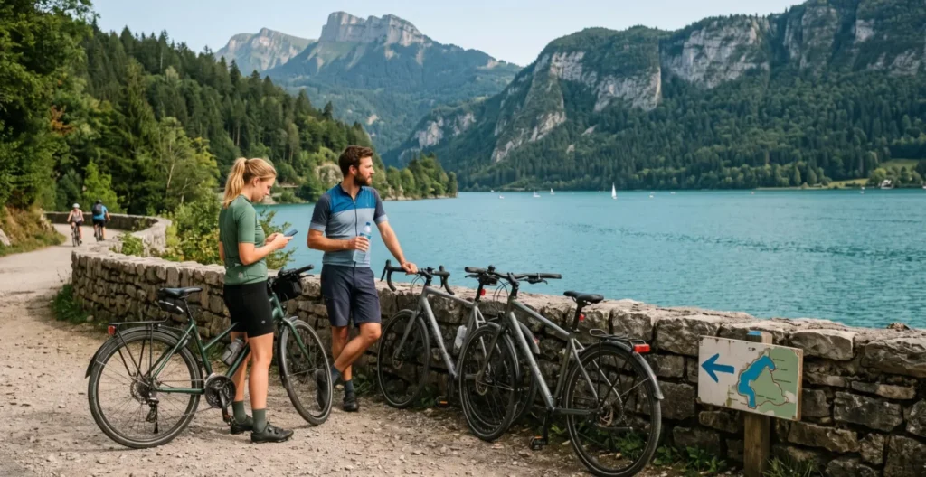
Stop timing strategy depends on pace archetype. Leisure family groups benefit from planning stops every 8-12 kilometres, preventing fatigue accumulation in younger or less-fit riders. Recreational steady riders typically manage 15-20 kilometre segments between substantial breaks, with brief photo stops as desired. Each planned stop adds 15-30 minutes to total completion time depending on activity—quick photography versus extended swimming or meal breaks.
Practical field intel for a seamless ride
Navigation around the Lake Annecy circuit benefits from understanding both physical signage reliability and digital backup strategy. The route is generally well-marked with cycling direction indicators at major junctions, yet infrastructure transitions between dedicated voie verte and shared road segments occasionally present ambiguous wayfinding moments, particularly for first-time riders unfamiliar with the circuit.
Physical signage proves adequate for the main circuit if riders maintain attention at junctions and accept occasional backtracking to confirm routing. Digital navigation apps such as Strava or Komoot provide backup confidence, particularly for the shared road transitions and any planned detours. For a detailed comparison of Strava and Komoot functionality in route planning contexts, both platforms support downloaded offline maps eliminating mobile data dependency—practical for international visitors managing roaming costs.
Seasonal timing affects experience quality substantially. May, June, and September offer optimal conditions with minimal greenway congestion, moderate temperatures suitable for extended riding, and reliable weather compared to early spring uncertainty. July and August see peak visitor volumes, with the SILA-managed sections experiencing up to 10,000 daily passages during high season weekends—congestion particularly concentrated between 10:00 and 16:00.
Daily timing strategy within peak season dramatically changes the experience. Early morning departures (07:00-08:00) encounter significantly quieter greenway conditions even during July-August, whilst the same route attempted from a 10:00 Saturday start faces continuous traffic requiring frequent speed adjustments and passing manoeuvres. Shoulder season offers more flexibility, with mid-morning starts (09:00-10:00) proving acceptable throughout May-June and September.
Parking logistics for those driving to Annecy centre on public car parks near the old town and lake access points. The Courier car park and Stade car park offer proximity to central rental locations and direct voie verte access. Peak season parking fills mid-morning during weekends; early arrival or use of park-and-ride options on the town periphery with short cycling access to the main circuit provides alternatives.
- Verify rental equipment suitability: Confirm hybrid or comfort bikes with multiple gears rather than basic city cruisers; check included helmet, repair kit, and route guidance provision.
- Carry adequate hydration and nutrition: 2+ litres water capacity for hot days, snacks or energy food for 2-5 hour rides depending on planned pace and stop frequency.
- Plan timing to avoid peak congestion: May-June or September for best conditions; early morning (07:00-08:00) starts during July-August weekends; mid-morning acceptable in shoulder seasons.
- Download digital route backup: Physical signage generally reliable but digital navigation (Strava, Komoot with offline maps) provides confidence for infrastructure transitions and detour decisions.
- Calibrate completion time realistically: Allow 4-5 hours for family leisure pace with stops, 2.5-3 hours for recreational steady riding, under 2 hours only if maintaining fit athletic pace.
Hydration and food availability varies around the circuit. Villages including Talloires, Menthon-Saint-Bernard, and Duingt offer café and shop access for refills and meals. The voie verte sections between villages lack facilities; carrying 2+ litres of water capacity proves essential during warm weather, with snacks or energy food supporting steadier energy levels over multi-hour rides.
Safety equipment verification before departure prevents common issues: helmet fit and fastening, brake function on both wheels, gear shifting across the full range, tyre pressure adequate for rider weight, and saddle height allowing comfortable leg extension. Rental providers should confirm these elements, yet personal verification takes minimal time and reduces mechanical problem risk.
The Lake Annecy circuit rewards planning that acknowledges infrastructure reality rather than promotional simplification. Understanding the 30km protected versus 12km shared road breakdown, calibrating difficulty expectations to match actual fitness levels, securing appropriate equipment through reliable rental sources, and timing the ride to avoid peak congestion transforms the experience from uncertain gamble to confidently executed Alpine cycling showcase. For those interested in how mapping ecosystems affect your route library across different platforms, the Annecy circuit appears consistently across major cycling apps with minor routing variations—testament to its established status in European cycling infrastructure.